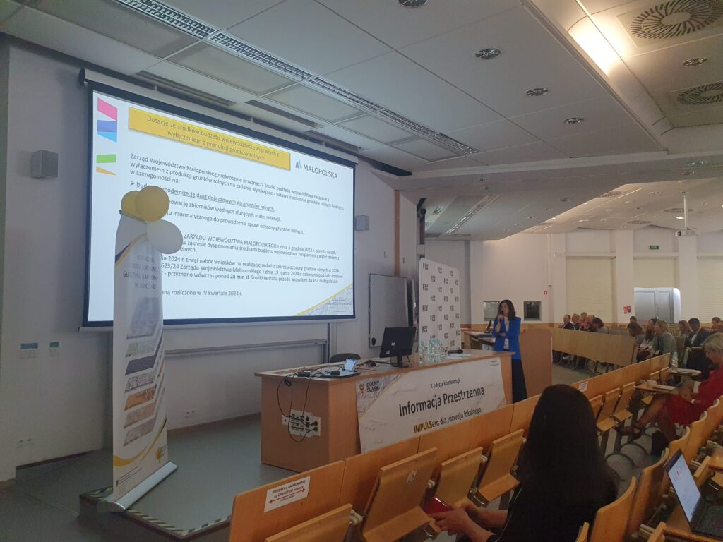
On 4 June, the team of the Małopolska Spatial Information Infrastructure participated in the 10th edition of the conference “Spatial Information as an IMPULSE for Local Development”.
During the event we presented the use of our system in the process of obtaining funding for the construction/modernisation of agricultural roads. The topics covered included a number of solutions, enhancements and tools that we are continuously developing and emphasised the importance of cooperation between local and provincial governments in the creation of spatial data sets.
We would like to thank the organisers and all participants for the inspiring discussions and valuable exchange of experiences.