Maps of Małopolska - the first step in discovering the Region

A platform increasing the availability and quality of public e-services in the field of spatial information. Thanks to the implementation of the project, the inhabitants of Małopolska, apart from having access to modern geodetic registers and viewing maps, will be able to use additional e-services.

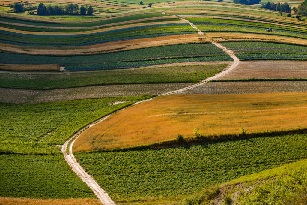
Maps of MałopolskaYou’ll find maps, data, applications and statistic… that You’re looking for. Agricultural geodesySee the agrarian structure in your area, view changes in land use. Voivodship Geodetic and Cartographic Documentation CenterDownload data or submit an application for sharing PZGIK resource materials.

News

Access roads to agricultural lands – funding 2024

Access roads to agricultural lands – funding – completed investments, including the construction/modernization of agricultural roads funded by the regional budget in 2024, have been added to the map. The spatial road database for the year 2024 was created with the participation of the applicants – Małopolska communes. The Małopolska Regional Board annually allocates funds […]

Małopolska cultural grazing 2025 – 4th edition of the competition

The Małopolska Regional Government announces the next edition of the “Małopolska Cultural Grazing” competition, which aims to promote extensive farming methods that contribute to the protection of biodiversity and the landscape. The territorial scope of cultural sheep grazing within the competition is presented on the map “Grazing Areas 2025 – Competition“. Małopolska has been a […]

Winter Holidays in Małopolska

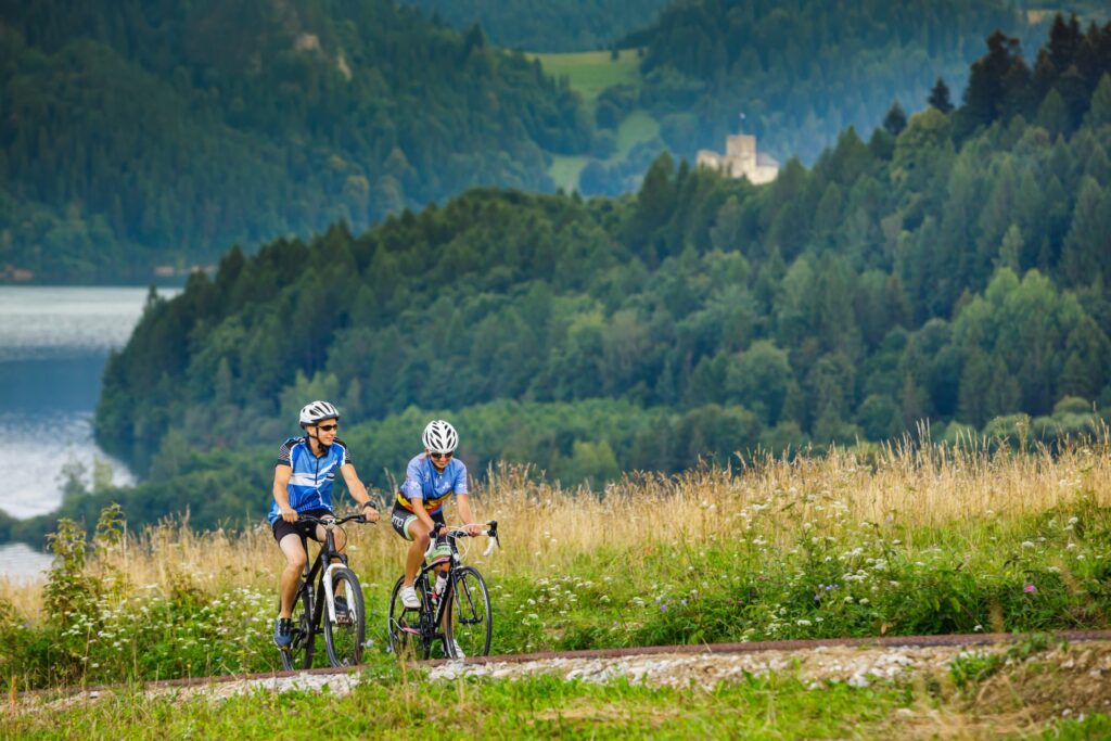
The winter holidays have begun in Małopolska. Many ideas for active recreation and information about attractions can be found on the Małopolska in Winter map. The map includes: The information on the map is provided in cooperation with the Małopolska Tourist Organisation.