The application offers access to maps of the Małopolska region.
For each map application, the mobile app provides a set of tools:
- Measurements – indicated on a map or specified based on GPS: coordinates for a point, length for a line, area for a polygon,
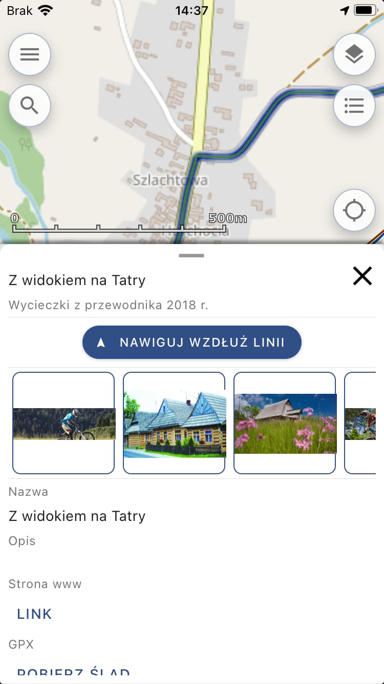
- Route recording with the ability to save in my data,
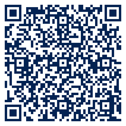
- Information about the route: the lowest and highest point of the route, the length of the route, the average speed of the route, the time of the route, the terrain profile along the route,
- During recording a track, the app allows you to indicate the current speed of movement and distance traveled, then save the user data and show it on the map or send it as KML or GPX to an email address, or add data from external files
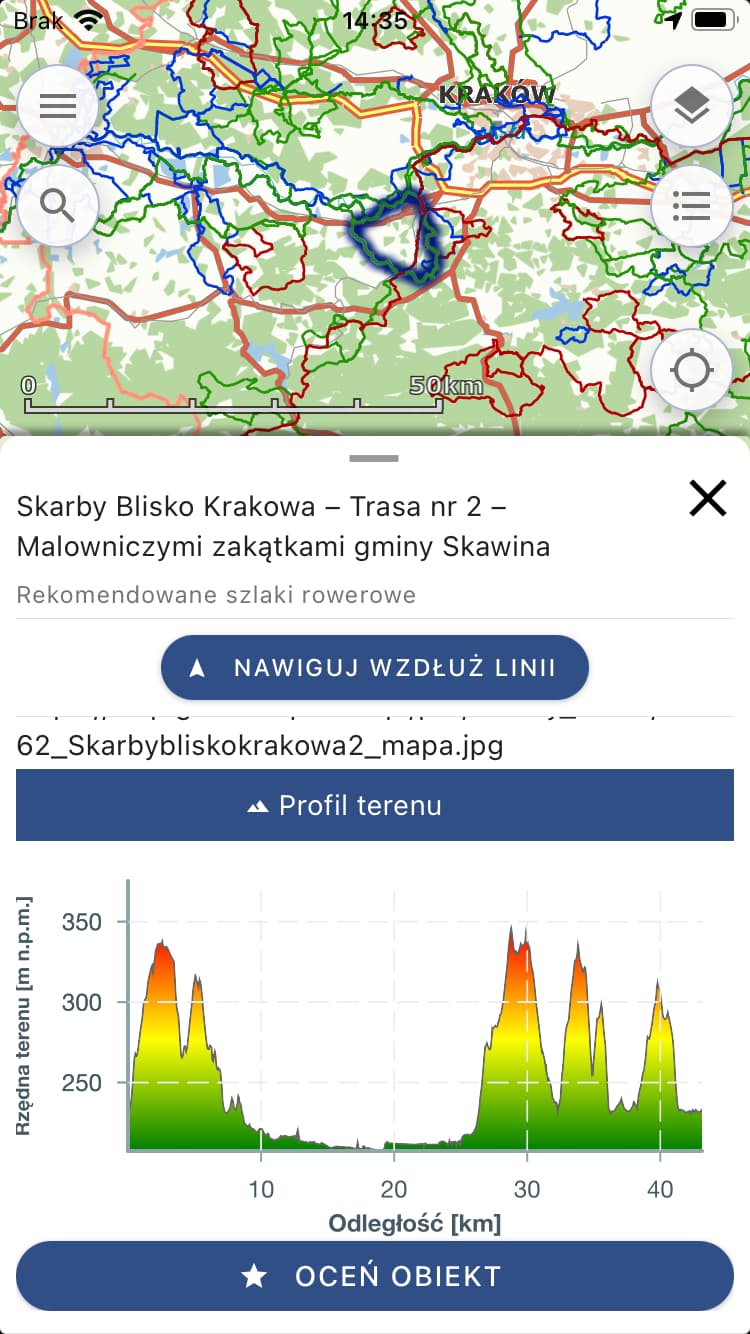
- Identification of a point on the map (with the ability to save) with the name and description of the identified object.
Download application for your device: